
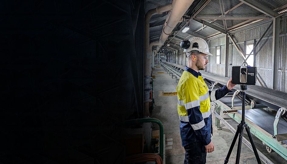
ADVANCED 3D LASER SCANNING
Precision Reality Capture for Complex Engineering
We provide advanced 3D laser scanning solutions to capture exact existing conditions. Our high-fidelity point cloud data eliminates design uncertainty, mitigates operational risks, and ensures that your next upgrade or renovation is built upon absolute accuracy. By capturing complex plant layouts, facilities, or infrastructure in a single site visit,we drastically reduce the need for disruptive follow-up measurements. Our team transforms this raw data into intelligent, constructible BIM models that streamline your engineering workflows. Whether you are planning a brownfield retrofit or a complex facility expansion, we provide the digital foundation needed for seamless project integration. This data-centric approach minimizes costly on-site change orders by identifying potential spatial conflicts before a single shovel hits the ground. Our commitment to high-precision output ensures that even the most intricate structural details are preserved with complete spatial fidelity. By digitizing your assets, we enable remote project coordination, allowing stakeholders to virtually inspect sites from anywhere in the world.
Millimeter-Level Dimensional Accuracy
Non-Intrusive Safe Data Collection
Detailed Existing Conditions Mapping
Seamless BIM & CAD Integration

Our 3D Laser Scanning Services
Explore our specialised reality capture solutions tailored for your exact industry needs.
.png)


